Why was 2022 in Australia so wet, and will it happen again?
Slow-moving systems of low pressure, high levels of atmospheric moisture and a perfect storm of La Niña, the Indian Ocean Dipole and the Southern Annular Mode caused Australia’s devastating 2022 floods, but more research is needed to understand the role of climate change in future heavy rainfall.
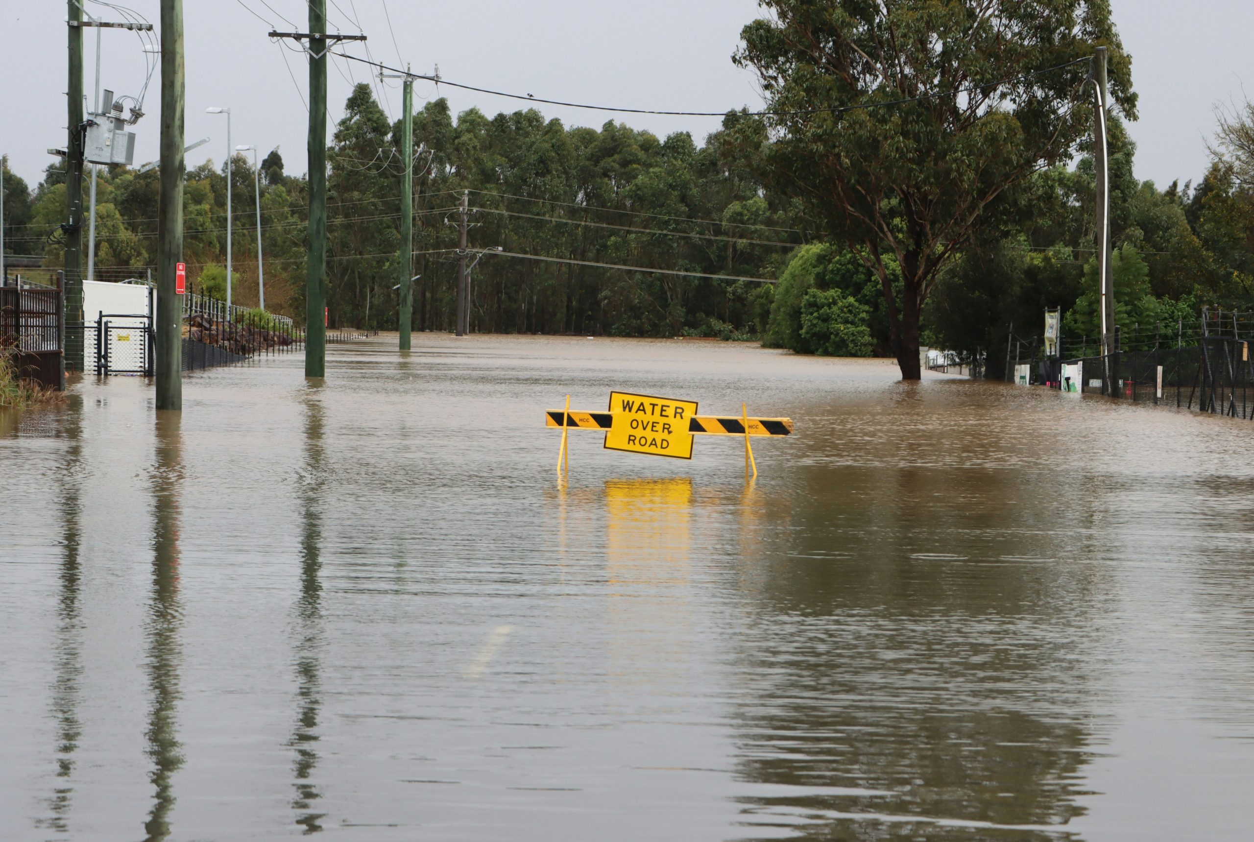
Eastern Australia experienced record-breaking rainfall and flooding during 2022, which devastated communities and led to over AU$6 billion of damage. Since then, Australia’s leading climate and weather researchers have been working to investigate the reasons behind this unusually wet year, in which rainfall records were broken multiple times.
Their results have now been published in the American Meteorological Society’s Journal of Climate.
Focusing on periods of time in February and March, July, and October 2022, the researchers examined both large-scale conditions (like the highs and lows seen in a television weather forecast) and the smaller ‘mesoscale’, which refers to clouds and thunderstorms visible on short-term weather radars.
The cause of the exceptional rainfall was likely a combination of excessive, slow-moving low pressure systems and high levels of moisture in the atmosphere. While they were not critical to determining the heavy rainfall, key climate drivers (the El Niño-Southern Oscillation, the Indian Ocean Dipole, the Southern Annular Mode and the Madden-Julian Oscillation) all combined to prime the weather conditions across eastern Australia for frequent rain.
Another important factor contributing to the flooding was the high number of wet days during the year, which meant soil did not have enough time to dry out and rivers remained full ahead of more heavy rain.
The complexity of extreme rainfall events across multiple days made it difficult to distinguish the role of climate change from Australia’s natural climate variability. And while they expect short duration rainfall to increase with climate change, the team of scientists called for further research to better understand the potential for complex, multi-day rainfall events in Australia as the world continues to warm.
Examining individual drivers, like La Niña, in isolation will not provide the answers needed to mitigate and adapt to the risk of heavy rainfall. To effectively understand and predict future rainfall, it is necessary to systematically explore how local weather conditions interact with climate at the regional and planetary scale.
Dr Kimberley Reid of the University of Melbourne, a Research Fellow at the ARC Centre of Excellence for 21st Century Weather and the lead author of the paper, said the work, “illustrates how complex extreme rainfall can be and why it is challenging to determine how extreme rainfall may change in a warmer climate in regions that often switch between very dry and very wet, like southeastern Australia.”
Dr Reid added: “A key finding was that despite the record-breaking rainfall, the synoptic conditions were not unprecedented. There were other years in the recent climate with anomalous slow-moving cyclones, strong high-pressure systems in the Tasman Sea, and high moisture flux over the region.
“There is likely an element of natural chaos that is difficult to quantify and predict that dictates whether a rainfall event is record-breaking, such as exactly where weather systems stall and dump a lot of rain.”
Together, the researchers highlighted the importance of long-term radar observations for furthering our understanding in this area, and the need for higher resolution climate model representation of the processes responsible for heavy rainfall.
To help Australia predict and prepare for future heavy rainfall events, the team called for more examination of:
- the role of a warmer atmosphere in driving record-breaking rainfall;
- why weather systems move slower in some years but not others;
- and how we can improve long range forecasts of heavy rainfall in seasons other than spring.